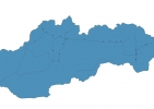
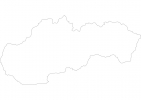
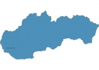
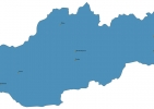
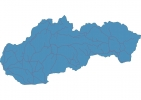
Slovakia Map - SVG Vector
Interactive Map of Slovakia
Slovakia is a Republic founded in 1993 and located in the area of Europe, with a land area of 48846 km² and population density of 112 people per km². Territory of Slovakia borders Austria, Czech Republic, Hungary, Poland, Ukraine. Gross domestic product (GDP) is of about 969600 millions of dollars dollars.
Geography of Slovakia
Gerlachovský štít is the highest point in Slovakia at an altitude of 2655 meters, instead the lowest point in the country is Bodrog at 94 m.
Simple Maps of Slovakia
Here are the best maps of Slovakia at high resolution. Below you find printable maps showing Slovakia in different styles and positions.
Frequently asked questions about Slovakia
How is Slovakia divided?
If you are looking for regions or provinces in Slovakia, here are all the main areas:
- Žilinský
- Prešov
- Košický
- Bratislavský
- Trnavský
- Trenciansky
- Banskobystrický
- Nitriansky
What are the main points of interest in Slovakia?
The major tourist attractions in Slovakia are Bratislava Castle, Devín Castle, St. Martin’s Cathedral, Michael’s Gate, Most SNP, Spiš Castle, Bojnicky zamok Slovakia, Old Town Hall, Primatial Palace.
What is the flag of Slovakia?
What is the capital of Slovakia?
The main city and capital of Slovakia is Bratislava.
What is the currency in Slovakia?
Official currency of Slovakia is Euro.
What is the population of Slovakia?
In Slovakia there are 5459900 people.
What is international phone code in Slovakia?
Slovakia telephone code is 421.
