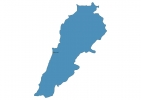
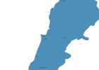
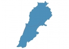
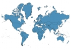
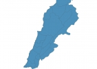
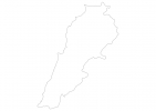
Lebanon Map - SVG Vector
Interactive Map of Lebanon
Lebanon is a Republic founded in 1943 and located in the area of Asia, with a land area of 10401 km² and population density of 656 people per km². Territory of Lebanon borders Israel, Syria. Gross domestic product (GDP) is of about 434900 millions of dollars dollars.
Geography of Lebanon
Qurnat as Sawda’ is the highest point in Lebanon at an altitude of 3088 meters, instead the lowest point in the country is Mediterranean Sea at sea level.
Simple Maps of Lebanon
Here are the best maps of Lebanon at high resolution. Below you find printable maps showing Lebanon in different styles and positions.
Frequently asked questions about Lebanon
How is Lebanon divided?
If you are looking for regions or provinces in Lebanon, here are all the main areas:
- An Nabatiyah
- South Lebanon
- Beqaa
- North Lebanon
- Mount Lebanon
- Beirut
What are the main points of interest in Lebanon?
The major tourist attractions in Lebanon are Kadisha Valley, National Museum of Beirut, Cedars Of God Bsharri, Sursock Museum, Mzaar Ski Resort kfardebiane Jonction slop, Temple of Bacchus (Roman’s god of Wine), Baatara Waterfall, Mohammad AlAmin Mosque, Sidon Sea Castle.
What is the flag of Lebanon?
What is the capital of Lebanon?
The main city and capital of Lebanon is Beirut.
What is the currency in Lebanon?
Official currency of Lebanon is Pound.
What is the population of Lebanon?
In Lebanon there are 6822700 people.
What is international phone code in Lebanon?
Lebanon telephone code is 961.
