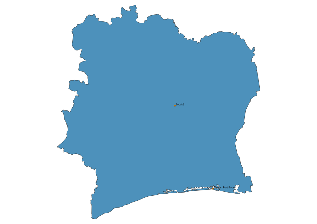
Airports in Ivory Coast Map - SVG Vector

Airports in Ivory Coast map vector is a file editable with Adobe Illustrator or InkScape. You can download SVG, PNG and JPG files.
This lossless scalable map of airports in Ivory Coast is ideal for websites, printing and presentations related to flights.
The map of Ivory Coast showing international airports offers a list of the major airports and where they are located in the country.
List of airports in Ivory Coast
- Port Bouet Airport
- Bouaké Airport
- Daloa Airport
- Korhogo Airport
- Man Airport
- San Pedro Airport
- Yamoussoukro Airport


