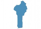
Benin Map - SVG Vector
Interactive Map of Benin
Benin is a Republic founded in 1180 and located in the area of Africa, with a land area of 112621 km² and population density of 108 people per km². Territory of Benin borders Burkina Faso, Niger, Nigeria, Togo. Gross domestic product (GDP) is of about 835900 millions of dollars dollars.
Geography of Benin
Mont Sokbaro is the highest point in Benin at an altitude of 658 meters, instead the lowest point in the country is Bight of Benin at sea level.
Simple Maps of Benin
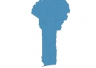
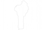
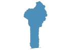
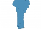
Here are the best maps of Benin at high resolution. Below you find printable maps showing Benin in different styles and positions.
Frequently asked questions about Benin
How is Benin divided?
If you are looking for regions or provinces in Benin, here are all the main areas:
- Alibori
- Borgou
- Plateau
- Collines
- Ouémé
- Atakora
- Donga
- Zou
- Kouffo
- Mono
- Atlantique
- Littoral
What are the main points of interest in Benin?
The major tourist attractions in Benin are Historical Museum of Abomey, Dantokpa Market, Pythons Temple, Honmè Museum, Door of No Return, Sacred Forest, Ouidah Museum of History (Portuguese Fort), Lake Aheme, Place Toffa (ex Place Jean Bayol).
What is the flag of Benin?
What is the capital of Benin?
The main city and capital of Benin is Porto-Novo.
What is the currency in Benin?
Official currency of Benin is Franc.
What is the population of Benin?
In Benin there are 12153200 people.
What is international phone code in Benin?
Benin telephone code is 229.
